Data Info
Rapid growth of NAVER LABS is
owed to a network of researchers.
We are hoping to move forward together
by sharing our latest data.
This page introduces how we produce
high-precision data, and contains
basic information on the dataset.
Our technology is continuously advancing
at this very moment.
You can also check related stories here.
-
Hybrid HD Mapping & ALIKE Solution
NAVER LABS developed Hybrid HD Mapping technology, which integrates road information extracted from aerial images with MMS data.
Learn more
It is an innovation method that drastically reduces production time while increasing accuracy. Based on this technology, NAVER LABS is further developing ALIKE, a solution that allows simultaneous creation of digital twin data such as vast city-scale 3D models, road layouts, HD maps, etc. Currently, NAVER LABS’ advanced technologies and know-how are playing a crucial role in various National Territory Data Digital Twin projects carried out by local governments, research organizations, and corporations. -

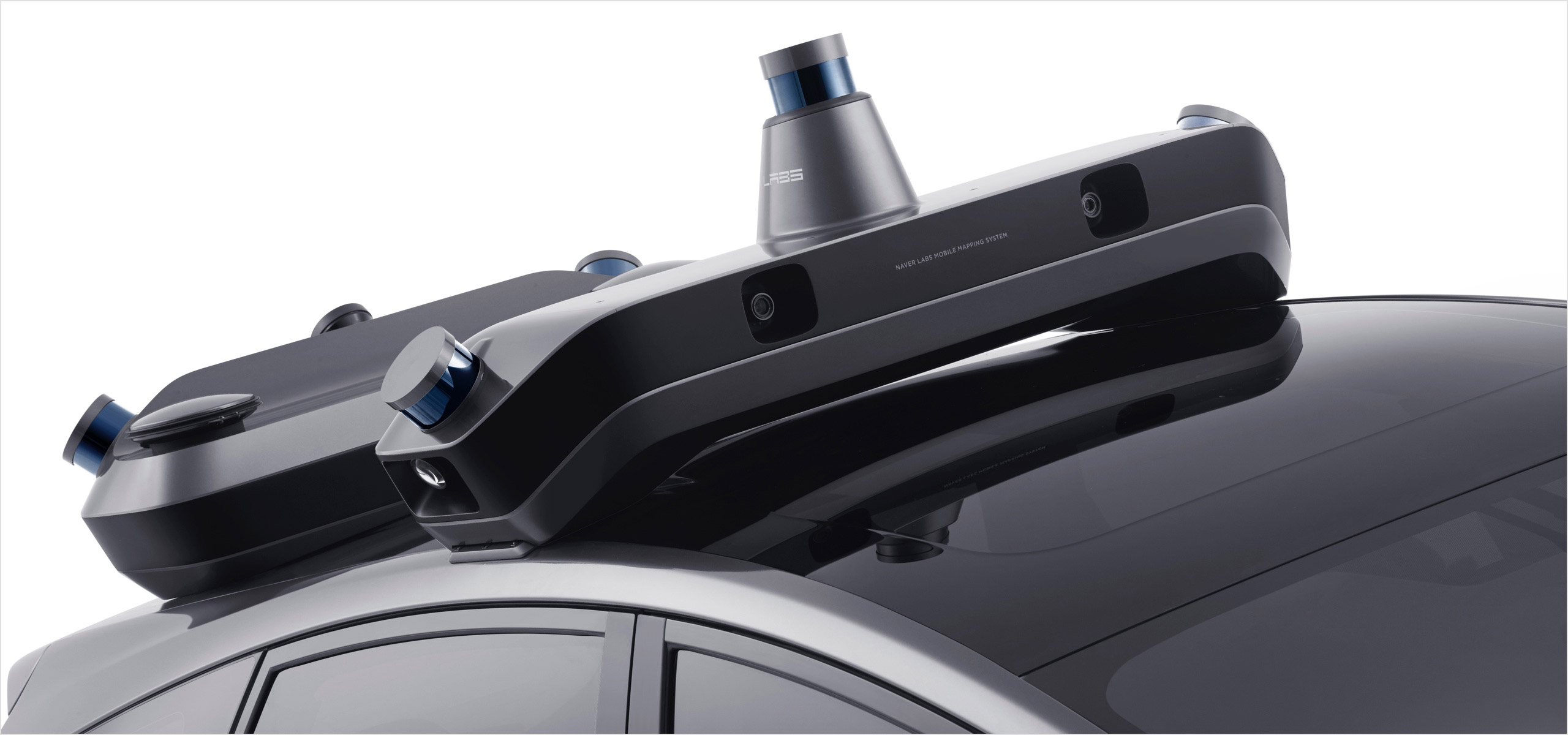
R1 - Mobile Mapping System
R1 is a mobile mapping system developed for
Learn more
Hybrid HD Mapping. It includes various sensors
such as cameras, 2D/3D LiDAR, GPS, IMU, FOG, wheel encoders, etc., but is still lighter compared to existing
MMS equipment. Features are
automatically extracted from 2D/3D data collected by R1. This is organically integrated with road layout information, obtained from aerial images taken beforehand, to complete the
HD map. -

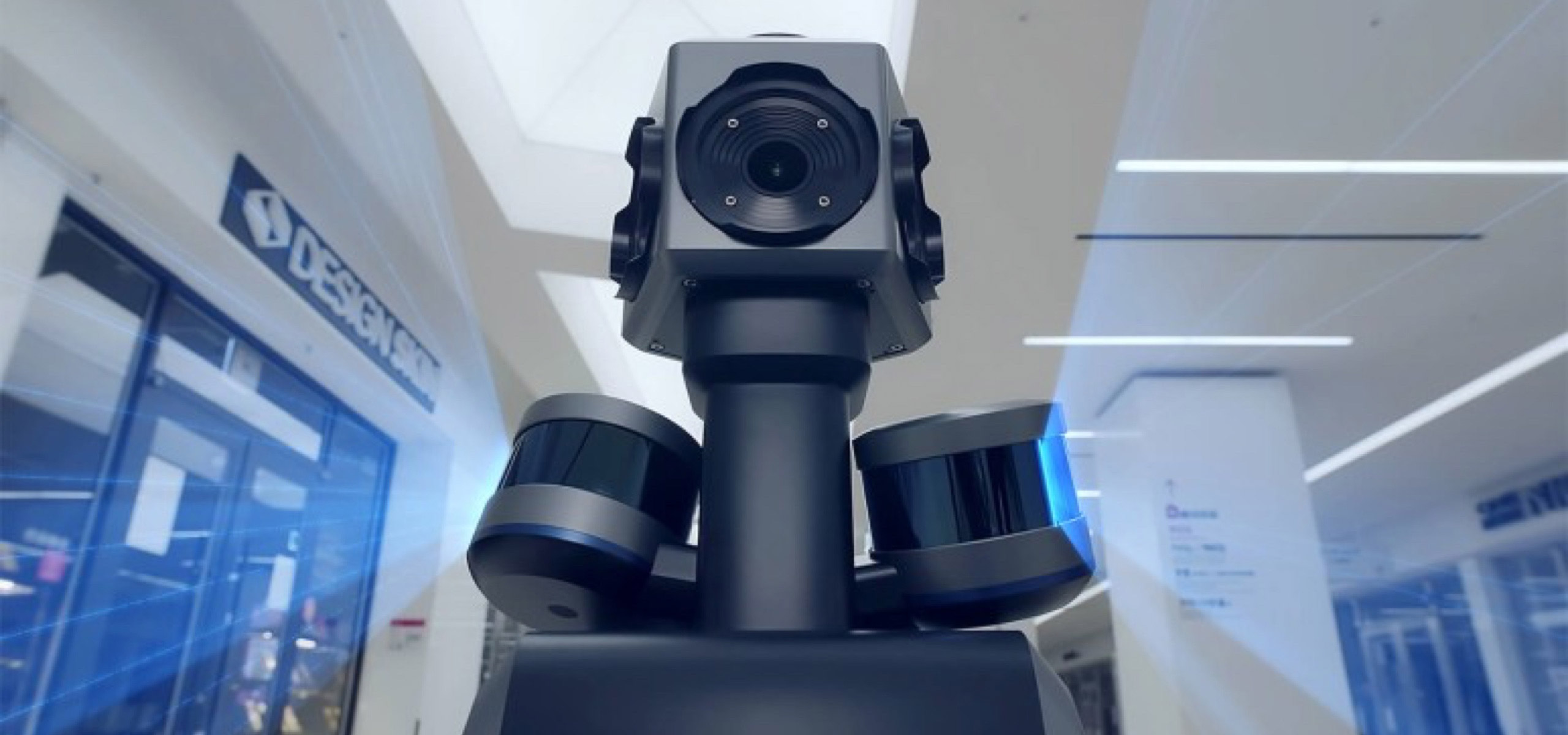
M1X - Mapping Robot
M1X is an indoor 3D/HD mapping robot.
Learn more
The HD map, created by applying SLAM technology to point cloud data collected with LiDAR,
is used for diverse location-based services including indoor service robots and
AR navigation.
An upgraded version of the existing M1 robot, M1X has greatly improved accuracy and data usability. -
COMET - Wearable Mobile Mapping System
COMET is a backpack-type mobile mapping system. It was developed to map complex terrains
Learn more
wheel-based robots and vehicles cannot access. With NAVER LABS’s original sensor fusion
odometry technology,
COMET can perform stable mapping by minimizing geographic features
such as irregular surfaces or stairs. With COMET, NAVER LABS is seamlessly connecting indoor and outdoor spaces, as well as spatial data of different environments, in the most effective way.